Maps
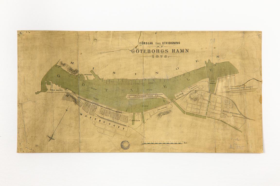
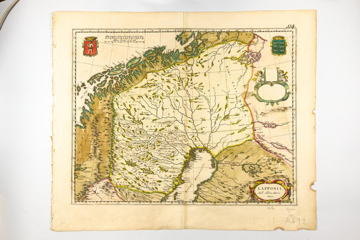
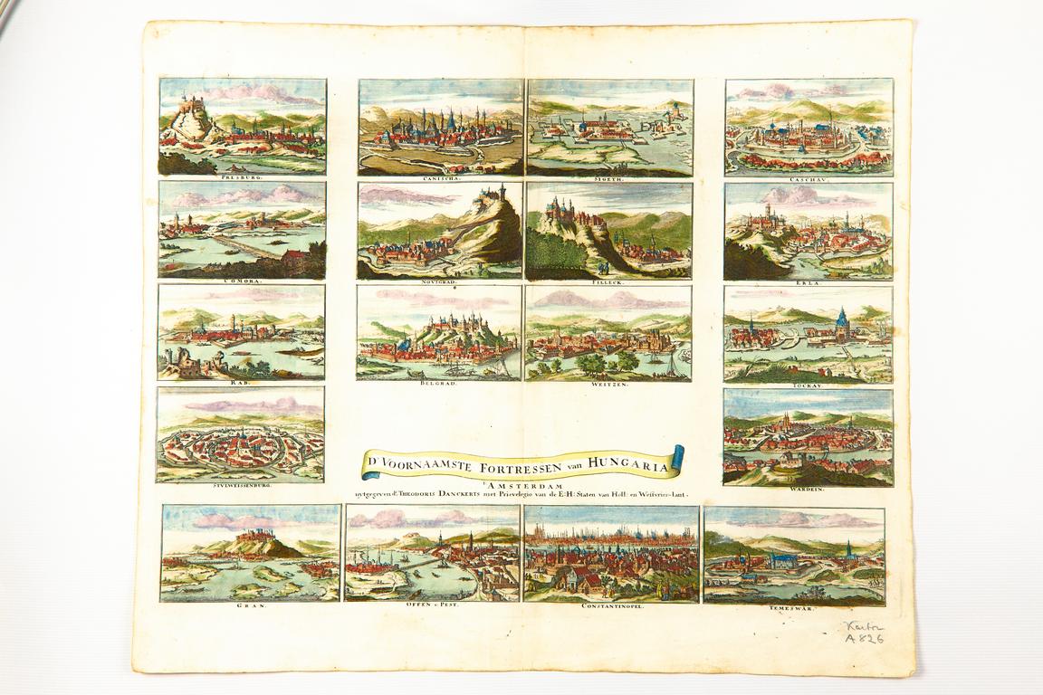
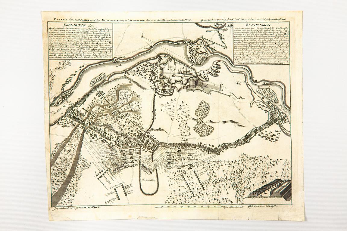
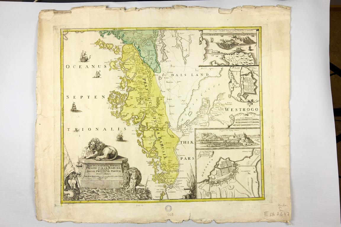
The map collection of the University Library is extensive, and includes both Swedish and foreign maps. As for publication years, the collection runs from the 16th century until the modern day. Here, too, are various kinds of speciality maps, featuring historical battles, communications, geology and more. In addition, the library has a large amount of atlases, from the late 16th century onward.
About the collection
The collection has undergone very little research. A selection of the material is displayed below.
Access the collection
Maps can be browsed in the scanned catalogue of maps with materials until 1988.
Some of the maps in the library collections are available through Supersearch.
Digital maps can be found in the database list by filtering your results by material type Maps and photographs (students and staff only).
Please note that there may be references to maps in other catalogues and inventories.
Humanities library
Renströmsgatan 4
405 30 GOTHENBURG
Phone: 031-786 17 45
Text:
Anders Strinnholm
Read more
Ehrensvärd, Ulla, Kartor: fem seklers svensk kartografi, Armémuseum, Stockholm, 1991
Gussarsson Wijk, Maria, Höglund, Mats & Lundström, Bo, Med kartan i fokus: en vägledning till de civila och militära kartorna i Riksarkivet, Riksarkivet, Stockholm, 2013
Hennerdal, Pontus, Education through maps: the challenges of knowing and understanding the world, Department of Human Geography, Stockholm University, Diss. (sammanfattning) Stockholm : Stockholms universitet, 2015, Stockholm, 2015. Digitally available.
Suggested research topics
- An overview of the collection's contents. What is represented here, and how does it mirror the time and context of the material?
- Swedish maps.
- Foreign maps.
- Olde acquisitions and collection building at the Gothenburg University Library branches.
Please contact us if you have any suggested research topics you would like to share!